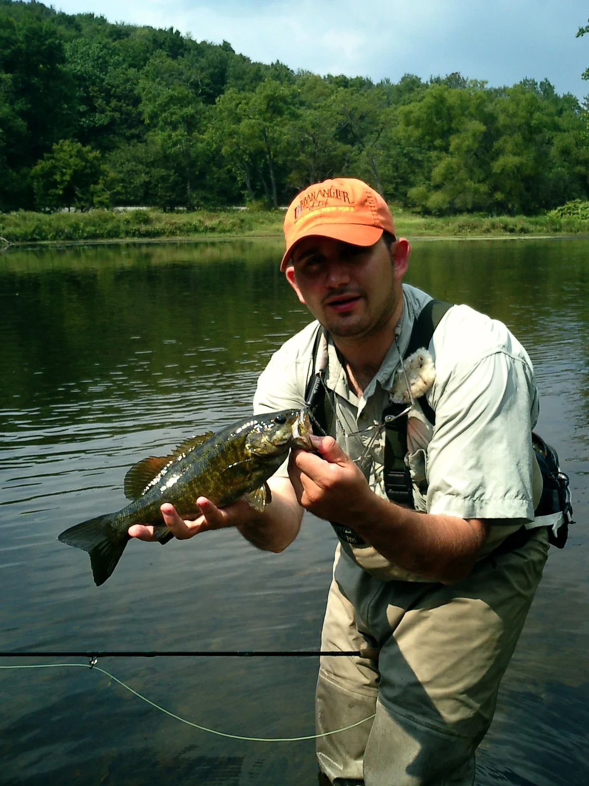
Fishing for smallmouth bass alongside the Appalachian Trail
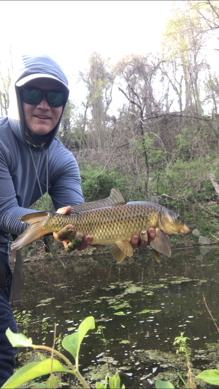
The upper Potomac involves every part of the river that is free-flowing and not tide dependent. That includes the river from as far north about 2 hours upriver from the District. It holds a variety of fishing opportunities as well as fish species, such as smallmouth bass, carp, sunfish, muskellunge, rock bass, catfish, and now the invasive northern snakehead. From the banks of the river above the District, through suburbs, farmland, and historic national parks, this river can be fished from shore, wading, or from watercraft.
The C&O Canal runs for 187.5 miles from Cumberland, MD to Georgetown in Washington DC. The canal provides access along its entire length, with most anglers concentrating on carp, snakehead, bass, and sunfish as well.
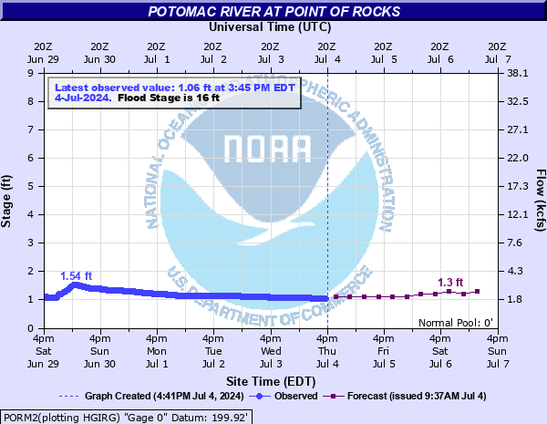
Best Wading from Point of Rocks to Whites Ferry is 0.7 feet on the Point of Rocks Gauge.
Best Wading from Violets lock down to Turkey Run is 3.0 feet on the Little Falls Gauge.
Use the interactive map below - it highlights well known access points, popular fishing spots, and places where you can park to access sections of the river. Clicking the square target icon in the top right corner of the map will open the custom map in a dedicated window that you can download and save to your own maps or phone.


